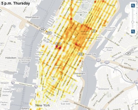
Depending on the time of day, it could be anywhere, but this fascinating interactive map from the NYT which shows hotspots as you scroll along a weekly timeline should help you out quite a bit.
According to Flowing Data, "The data that makes this possible comes from a partnership between Sense Networks and New York City's Taxi & Limousine Commission. The Taxi & Limousine Commission provided millions of GPS data points, and Sense Networks processed it, and made use of it."
The set of data has resulted in an iPhone app called Cabsense.


