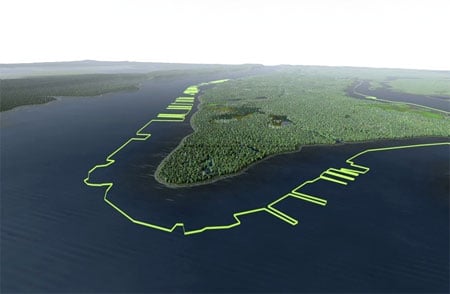
The New Yorker has posted a very cool slide show based on images from the Manahatta Project, organized from within the Landscape Ecology and Geographic Analysis Program at the Wildlife Conservation Society. The project is attempting to reconstruct the ecology of Manhattan as it would have been when Henry Hudson first saw it in September 1609:
“The Mannahatta Project will help us to understand, down to the level of one city block, where in Manhattan streams once flowed or where American Chestnuts may have grown, where black bears once marked territories, and where the Lenape fished and hunted.”
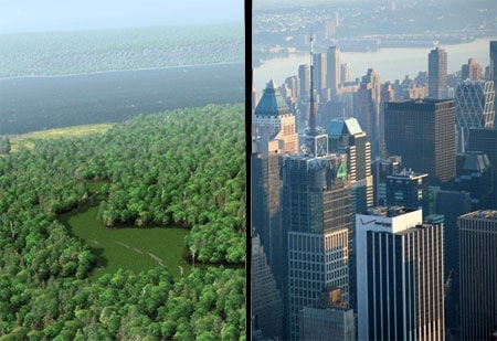
Below, “Times Square, then and now. The area once featured a red-maple swamp frequented by beavers, wood ducks, and elk.”

Mapping Manahatta [the new yorker]
The Mannahatta Project [official site]


